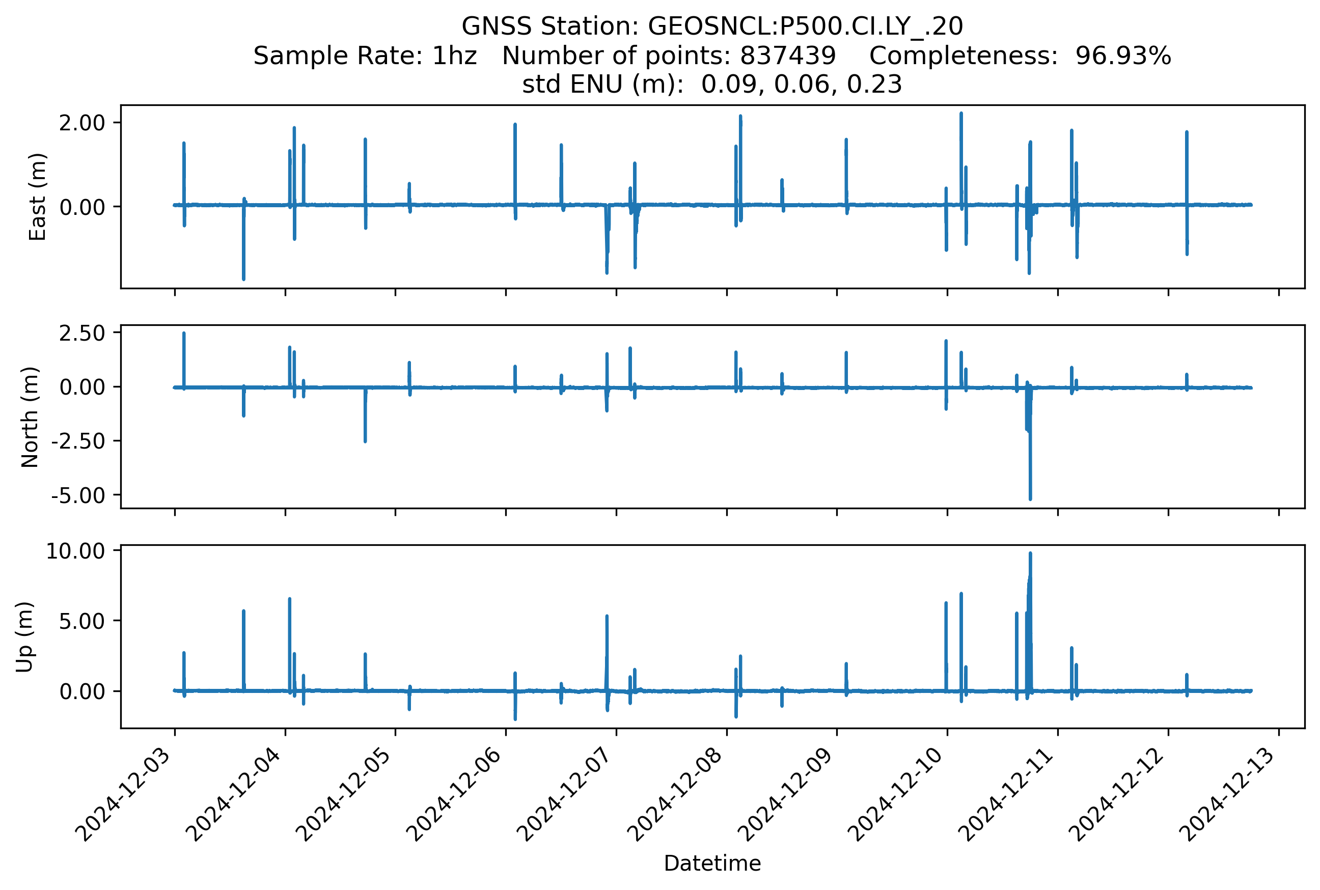
P500.CI.LY_.20 Image
URL: https://ds2.datacollaboratory.org/Earthscope_api/P500.CI.LY_.20.png
Dataset description:
The EarthScope Consortium streams three-dimensional GNSS high rate (1Hz) position time series from nearly a thousand GNSS stations to study earthquakes, volcanos, tsunamis, hydrologic...
Source: P500.CI.LY_.20
There are no views created for this resource yet.
Additional Information
| Field | Value |
|---|---|
| Data last updated | June 12, 2025 |
| Metadata last updated | June 12, 2025 |
| Created | June 12, 2025 |
| Format | PNG |
| License | No License Provided |
| Datastore active | False |
| Has views | False |
| Id | 49b6ed08-733a-4831-a505-562c252f43a4 |
| Mimetype | image/png |
| Package id | eae8074e-c838-4500-964b-99897b900f58 |
| Position | 2 |
| State | active |